


 Standard Datasets
UAV aerial Photography Multi-Object dataset
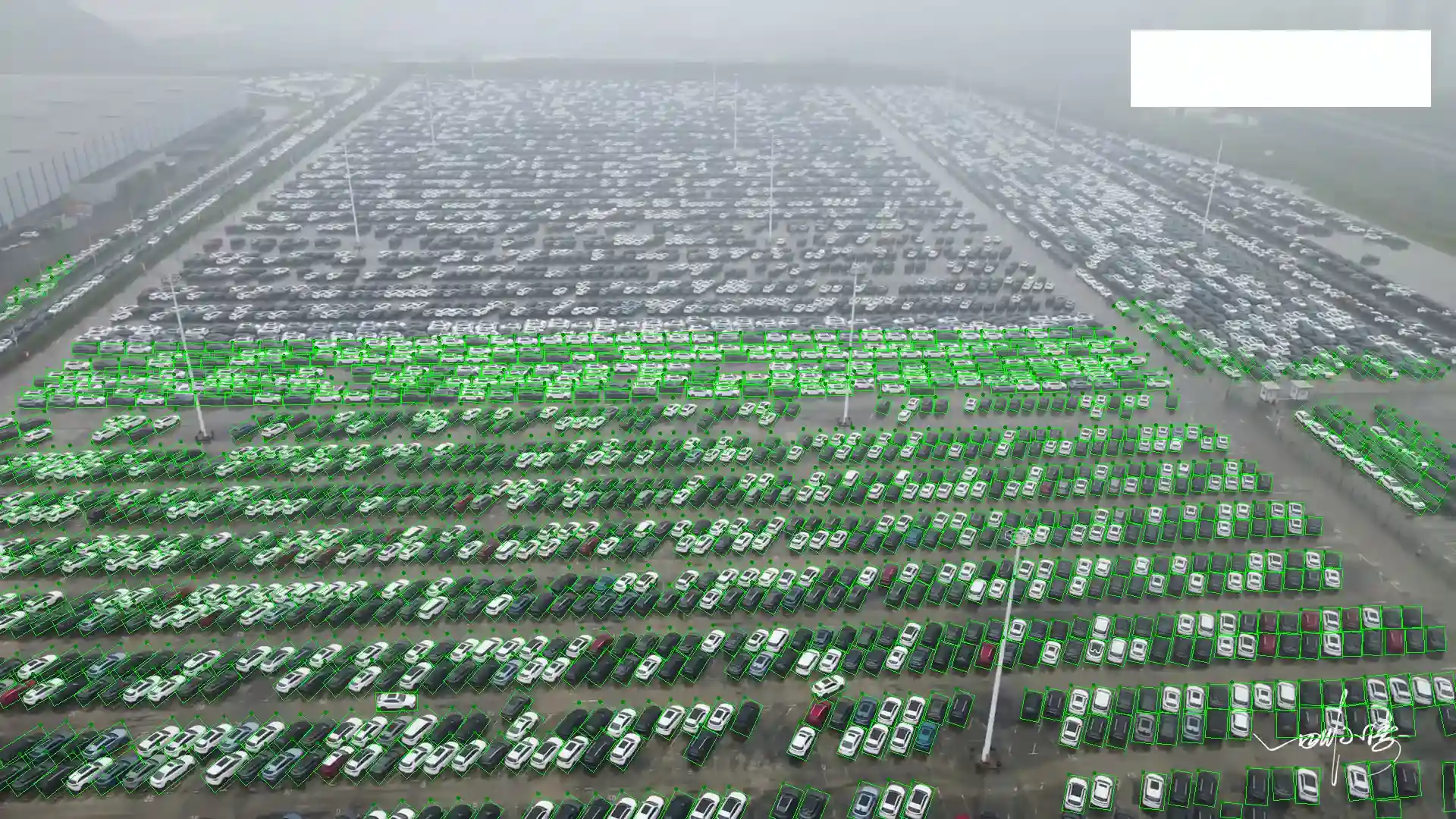
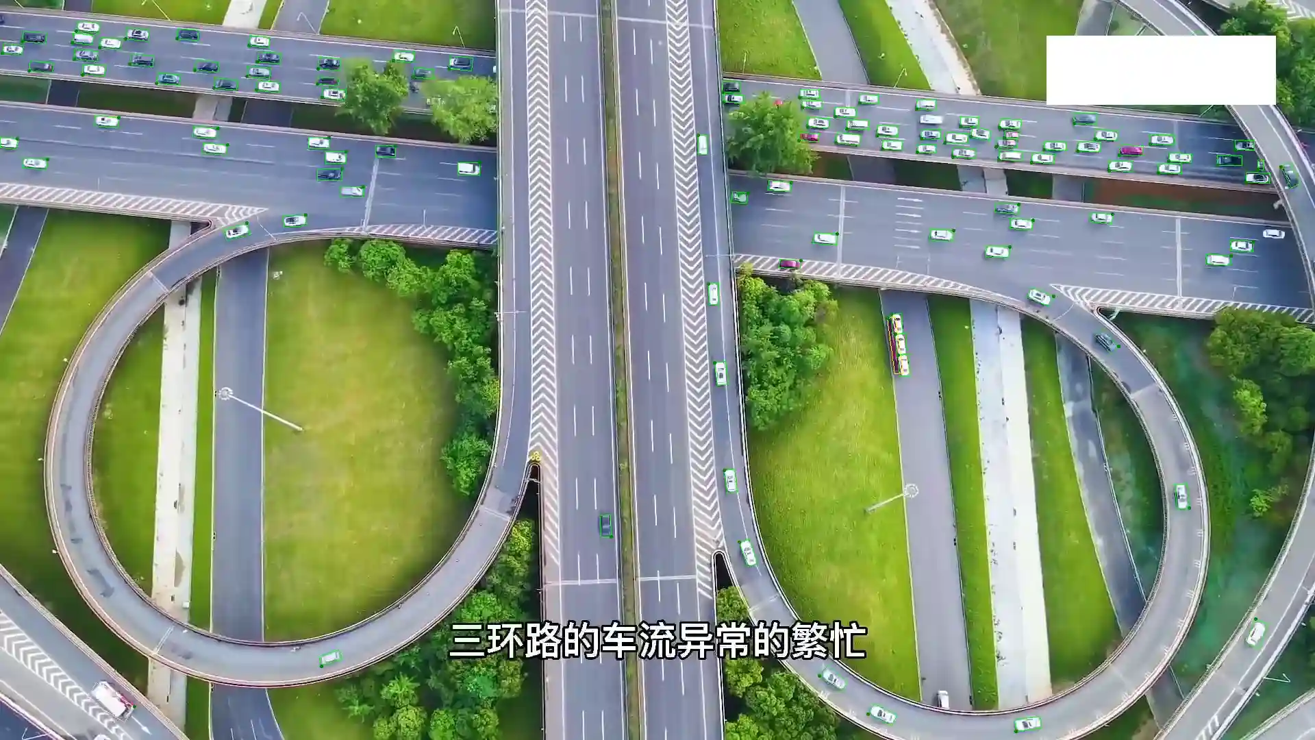
The "UAV Aerial Photography Multi-Object Dataset" is designed for smart transportation applications, featuring a collection of internet-collected UAV (Unmanned Aerial Vehicle) aerial photography images with a resolution of 1920 x 1080 pixels. This dataset predominantly covers large-scale scenes such as parking lots and highways, with each image containing over 200 vehicles. Every object within these images is meticulously annotated with a bounding box that aligns with the object's orientation, ensuring precise vehicle detection and tracking.
Sample
Specification
Dataset ID
MD-Image-077
Dataset Name
UAV aerial Photography Multi-Object dataset
Data Type
 Image
ImageVolume
About 28k
Data Collection
Internet collected images. Resolution is 1920 x 1080.
Annotation
Bounding Box
Annotation Notes
UAV aerial photography images mainly convering scenes like large parking lots and highways, with more than 200 vehicles on each image. Each object is annotated with bounding box according to the rotation of the corresponding angle.
Application Scenarios
Smart Transportation
Data Collections
This dataset comprises approximately 28k images, each rich in detail with more than 200 vehicles captured from an aerial perspective. The inclusion of bounding box annotations for each vehicle, adjusted for the vehicle's angle, provides invaluable data for the development and enhancement of smart transportation systems. This includes applications in traffic management, parking lot monitoring, and vehicular flow analysis, where accurate vehicle identification and spatial understanding are crucial for efficient operation and planning.
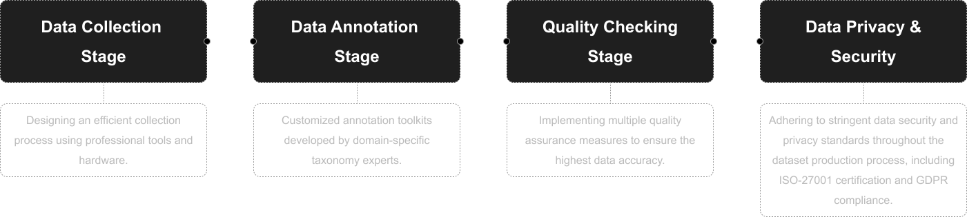
Quality Assurance
Related products
Any further information, please contact us.
