


 Standard Datasets
Remote Sensing Changes Detection Dataset
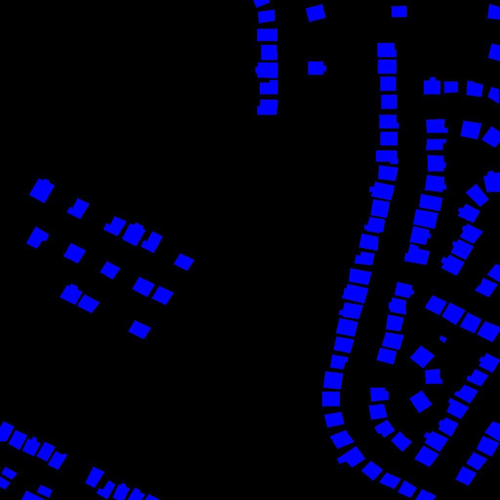
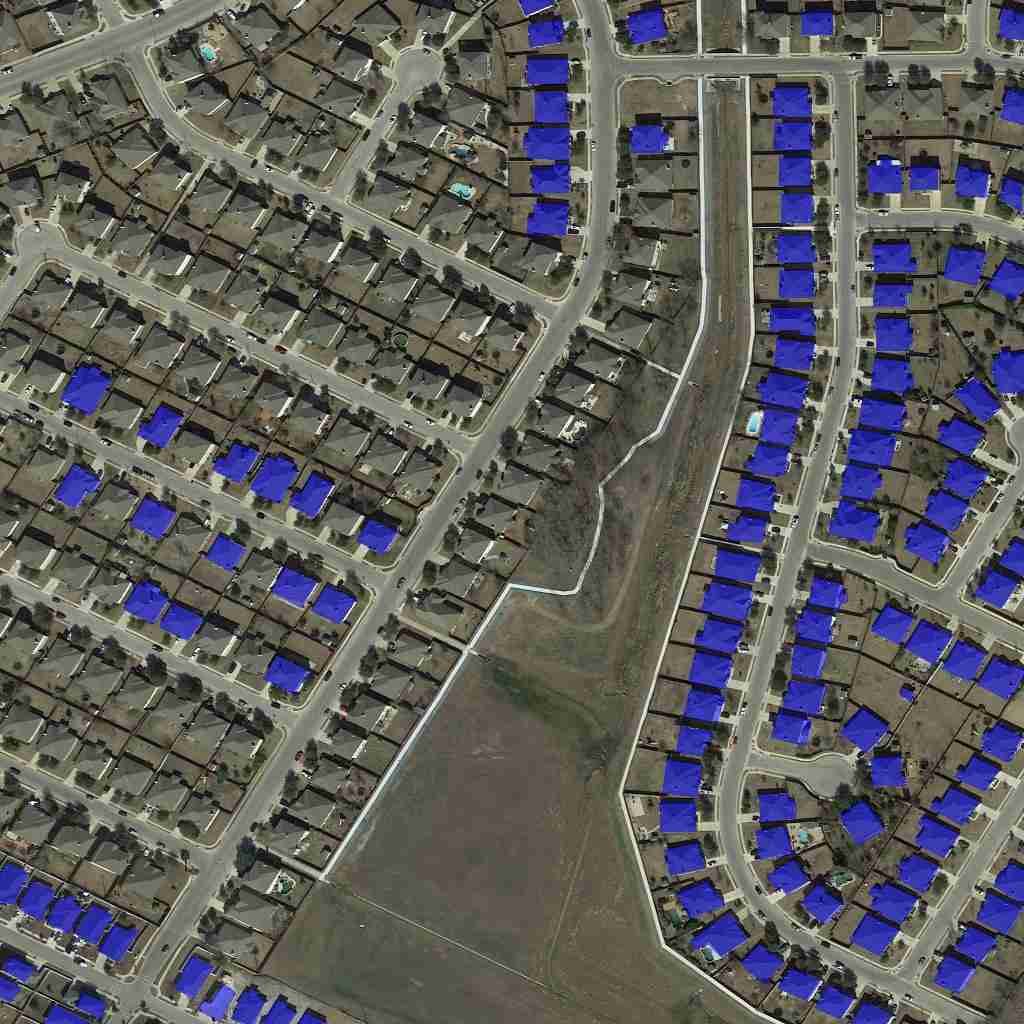
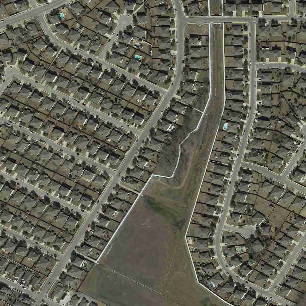
The "Remote Sensing Changes Detection Dataset" is a pivotal resource for the remote sensing field, featuring internet-collected images at a uniform resolution of 1024 x 1024 pixels. This dataset is specifically annotated for mask segmentation, distinguishing between front-phase and back-phase building labels, to facilitate the detection of changes in urban and rural landscapes.
Sample
Specification
Dataset ID
MD-Image-028
Dataset Name
Remote Sensing Changes Detection Dataset
Data Type
 Image
ImageVolume
About 230.1k
Data Collection
Internet collected images with resolution of 1024 x 1024 pixels.
Annotation
Mask Segmentation
Annotation Notes
The annotation includes front-phase building labels and back-phase building labels.
Application Scenarios
Remote Sensing
Data Collections
This dataset encompasses roughly 230.1k images, each designed to highlight alterations in building structures over different phases. The clear annotations for front-phase and back-phase buildings enable precise change detection, supporting a wide range of applications in urban planning, disaster assessment, and environmental monitoring, by providing detailed insights into the dynamics of landscape transformations.
Quality Assurance
Related products
Any further information, please contact us.
