


 Standard Datasets
Satellite Ships Segmentation Dataset
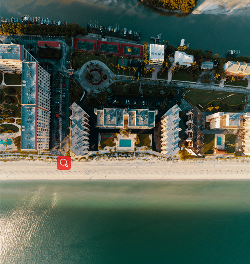
The "Satellite Ships Segmentation Dataset" is a specialized collection for remote sensing applications, derived from high-resolution satellite imagery with dimensions ranging from 14,722 x 20,949 to 38,133 x 14,604 pixels. This dataset is focused on semantic segmentation, featuring annotations for ships including Automatic Identification System (AIS) information and satellite icon notes, facilitating detailed maritime monitoring and analysis.
Sample

Specification
Dataset ID
MD-Image-049
Dataset Name
Satellite Ships Segmentation Dataset
Data Type
 Image
ImageVolume
About 100
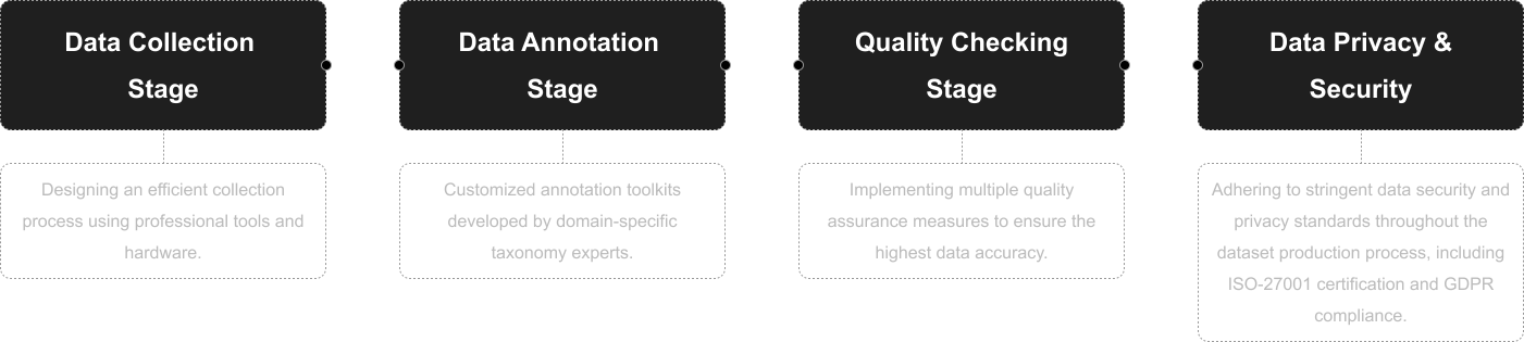
Data Collection
Obtained from satellite images. The resolution ranges from 14722 * 20949 to 38133 * 14604.
Annotation
Semantic Segmentation
Annotation Notes
AIS information and satellite icon notes of ships.
Application Scenarios
Remote Sensing
Data Collections
Comprising 100 satellite images, this dataset provides a focused look at ships, annotated with crucial AIS data and identifiable satellite icons. The high-resolution imagery and detailed segmentation support a range of remote sensing applications, from maritime traffic monitoring to environmental and security assessments, offering valuable insights into ship movements and behaviors in various maritime contexts.
Quality Assurance
Related products
Any further information, please contact us.
