


 Standard Datasets
Satellite Vehicle Bounding Box Dataset
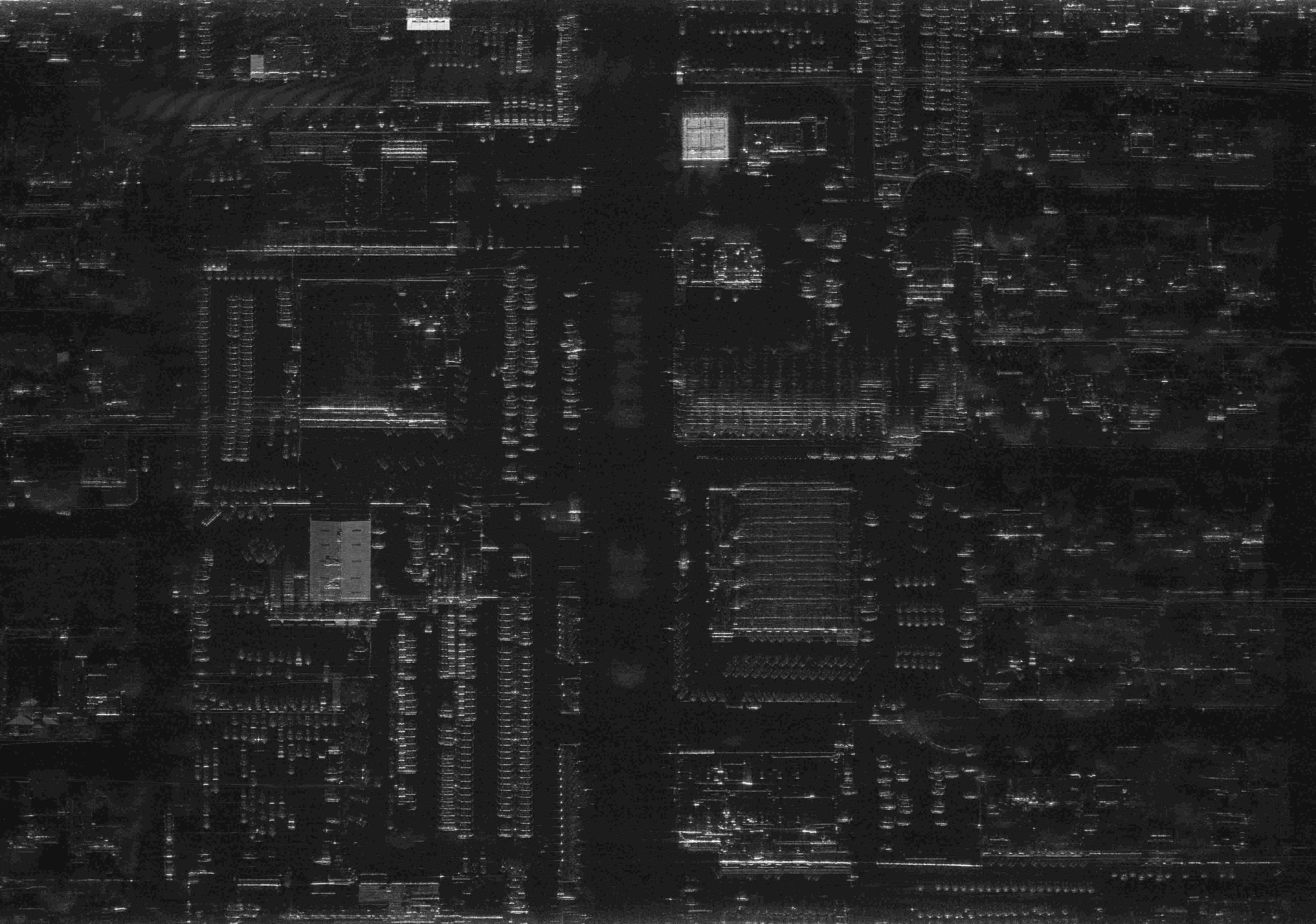
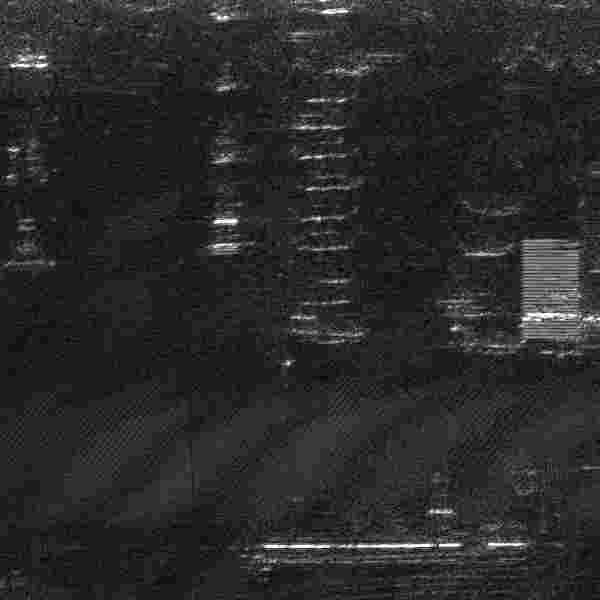
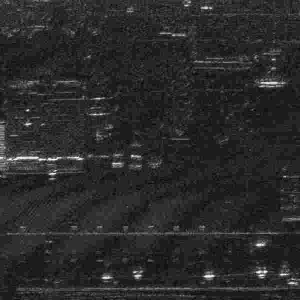
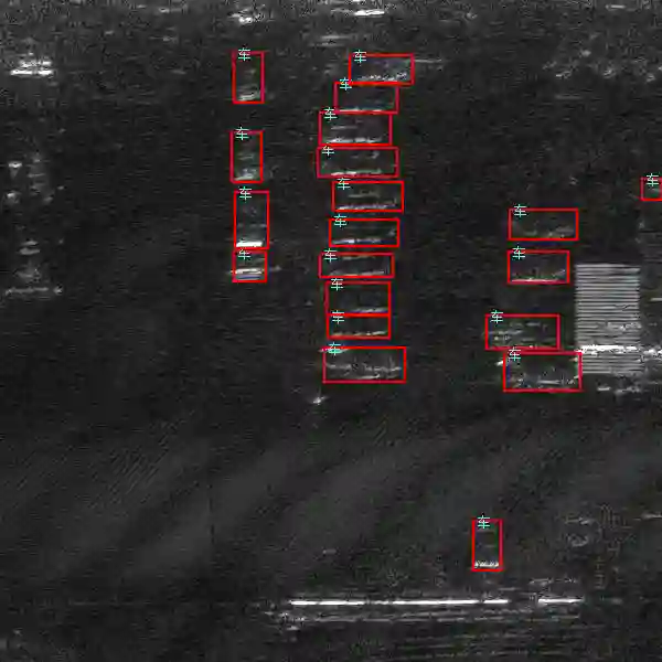
The "Satellite Vehicle Bounding Box Dataset" is designed for applications in visual entertainment and autonomous driving, consisting of satellite imagery with pixel resolutions exceeding 5000 x 6000. For annotation purposes, these high-resolution images are segmented into uniform sizes. This dataset specializes in the use of bounding boxes to outline vehicle contours within infrared imagery, focusing solely on the broad category of "CAR" for annotation.
Sample
Specification
Dataset ID
MD-Image-094
Dataset Name
Satellite Vehicle Bounding Box Dataset
Data Type
 Image
ImageVolume
About About 5k
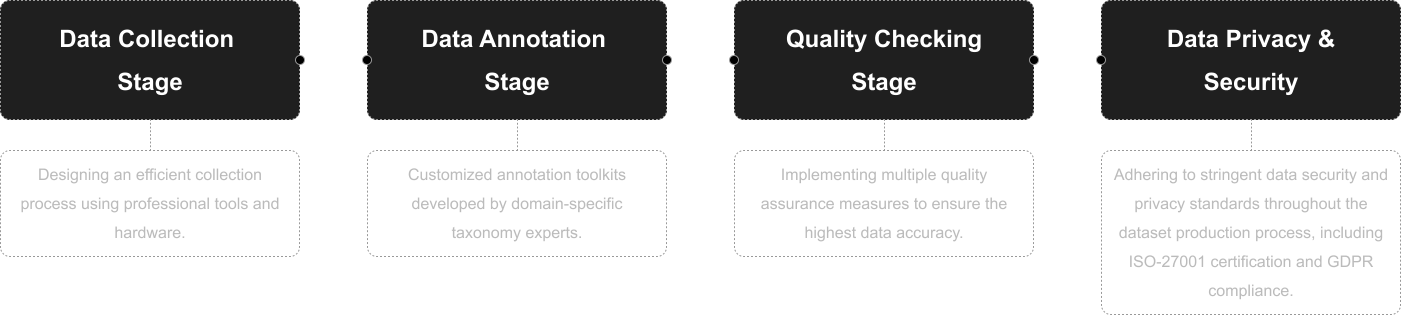
Data Collection
Satellite imagery with pixel resolutions exceeding 5000*6000. Images are segmented into uniform sizes for annotation purposes.
Annotation
Bounding Box
Annotation Notes
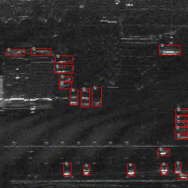
Bounding boxes are to be drawn around vehicle contours in infrared imagery. Only the broader category of "CAR" needs to be annotated.
Application Scenarios
Government & Secuity;Visual Entertainment
Data Collections
This dataset includes approximately 5k images, each annotated with bounding boxes that accurately outline the contours of cars identified in satellite infrared imagery. The focus on the "CAR" category and the use of bounding boxes provide essential data for developing and enhancing vehicle detection algorithms in both autonomous driving systems and visual content creation for entertainment, such as realistic simulations and detailed urban landscapes, by offering precise vehicle localization within diverse satellite imagery contexts.
Quality Assurance
Related products
Any further information, please contact us.
